Research from Norfolk, East Anglia
AI in Agriculture
How artificial intelligence is reshaping farming across Britain, from the cab of a CLAAS combine to the office of a Norfolk estate manager.
Last updated: April 2026
How artificial intelligence is reshaping farming across Britain, from the cab of a CLAAS combine to the office of a Norfolk estate manager.
Last updated: April 2026
We are based in Norfolk, in the middle of one of the most productive arable landscapes in Europe. The fields outside our window grow wheat, barley, oilseed rape, and sugar beet. The combines that harvest them are increasingly guided by GPS and satellite data. The agronomists who advise on them are starting to use AI-powered crop analysis.
East Anglia has the highest adoption of precision farming technology in the UK. Large fields, flat terrain, and high-value combinable crops make the economics work. NIAB has a research site at Morley, just south of Norwich. The Cereals event, the country's biggest arable farming show, is held near Duxford in Cambridgeshire. Elveden Estate and Holkham Estate, two of Norfolk's great farming operations, are early adopters of everything from variable rate nitrogen to natural capital mapping.
But most farms in this region, even progressive ones, are still only scratching the surface. Data gets collected but not acted on. Systems don't talk to each other. The gap between what the technology can do and what most farms actually use is enormous.
This is our attempt to map that landscape honestly: what is working today, what is coming, and where the real opportunities are.
AI is transforming farming in three distinct ways: in the field, in the farmyard and office, and in what comes next.
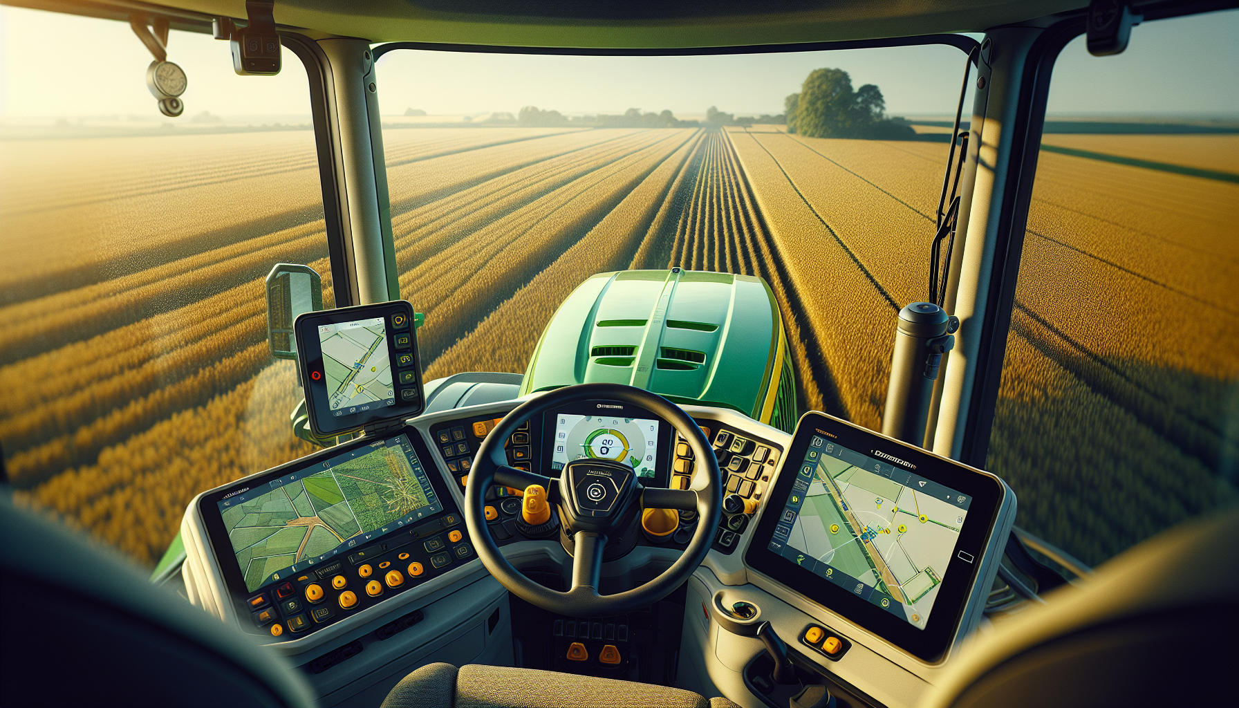
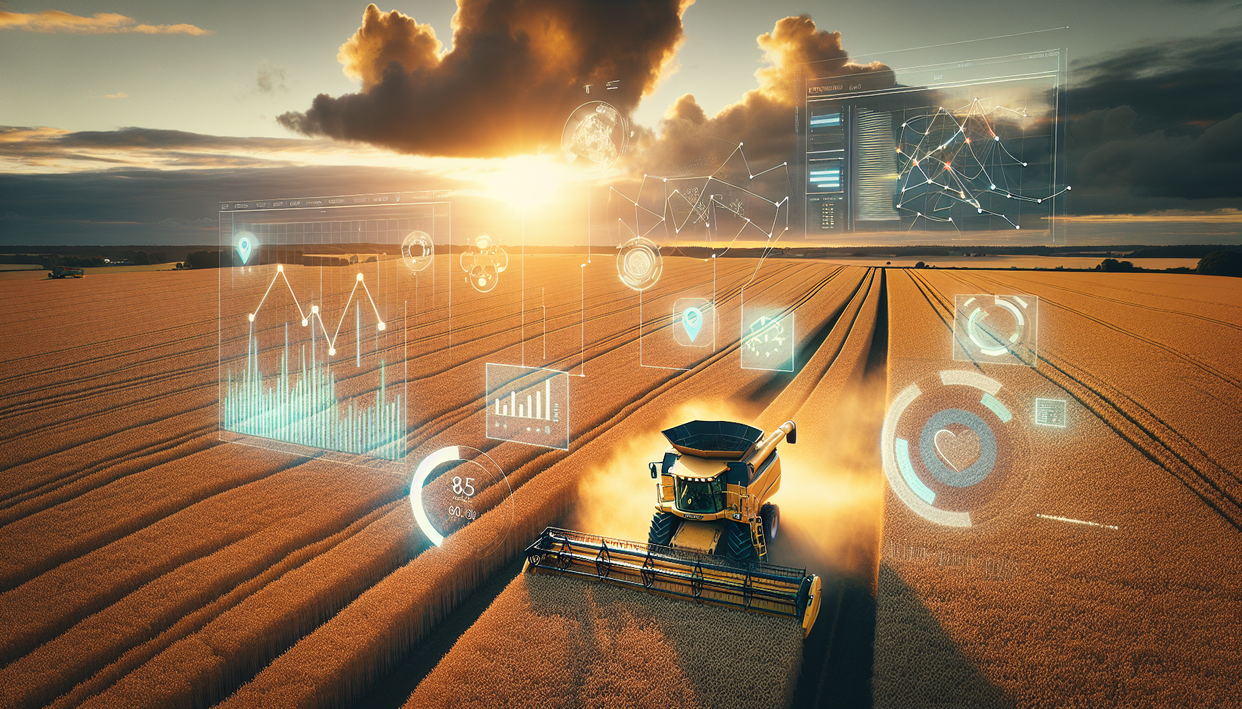
GPS auto-steering, computer vision sprayers, satellite crop monitoring, autonomous robots. What is already inside the cab and what is coming to UK fields.
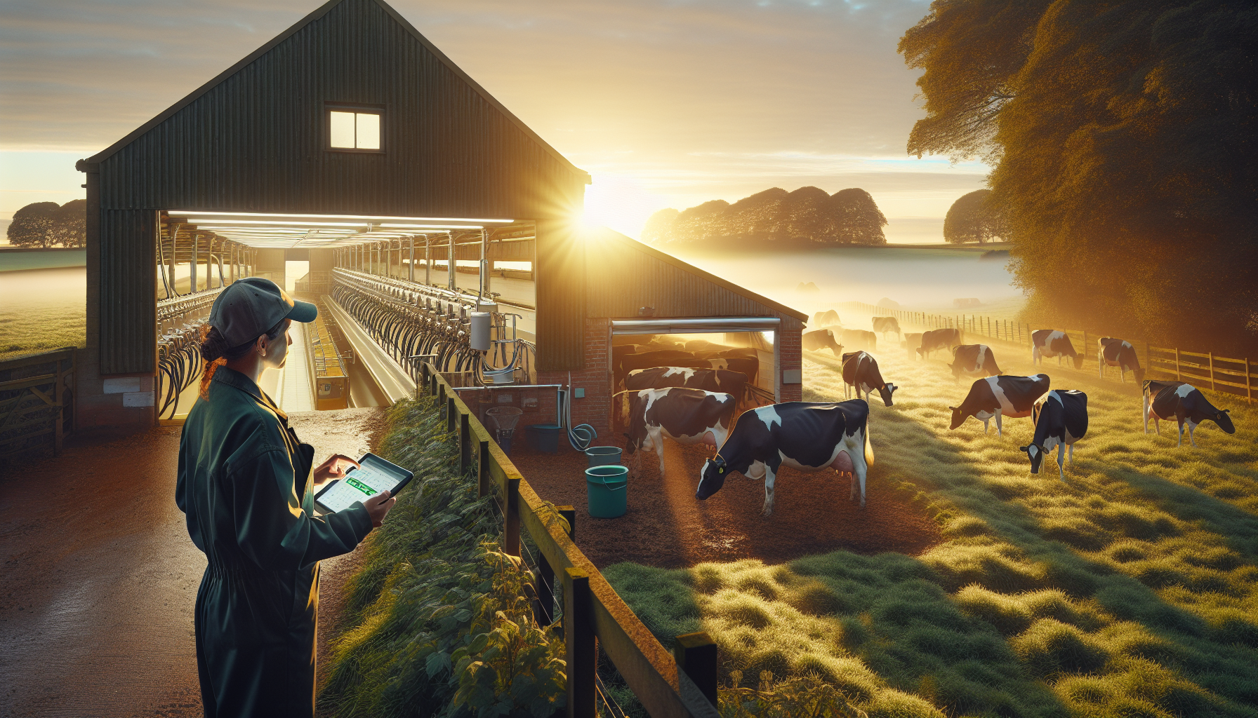
Robotic milking, smart health monitoring, farm management software, environmental compliance. The technology behind the farmyard gate and the office desk.
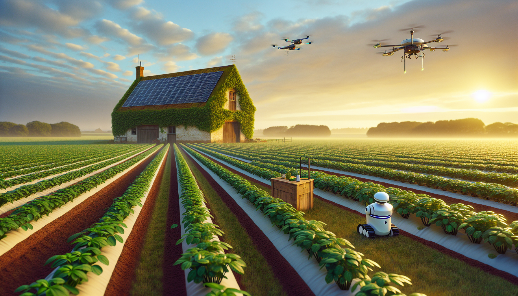
The trajectory from now to 2035, who is already doing it, how the UK compares globally, and where the real opportunities lie for farmers who act now.
Most large arable farms in East Anglia collect yield maps from their combines. Fewer than half close the loop by feeding that data into variable rate prescription maps for the following season. The machinery is capturing the information. The gap is in interpretation and action.
The Basic Payment Scheme was worth GBP 1.8 billion per year to English farmers. It is being phased out by 2028. The replacement, Environmental Land Management schemes, pays for environmental outcomes, not land ownership. Every farm needs to either reduce costs or prove environmental delivery. AI enables both.
At one end: six-figure robotic milking systems and autonomous tractors designed for 2,000-hectare operations. At the other: free DEFRA spreadsheets and paper records. In between, where 200-to-500-acre farms live, affordable, integrated AI that connects multiple data sources and delivers clear recommendations barely exists. That is the gap.
SFI, carbon tracking, biodiversity monitoring, pesticide reduction targets, and Net Zero 2050 obligations are creating a compliance data burden that traditional farm management tools cannot handle. AI tools that automate environmental monitoring and generate evidence are the fastest-growing category in agricultural technology, and the one that serves the broadest range of farm sizes.
Norfolk, Suffolk, and Cambridgeshire form the backbone of English arable farming. The region's flat terrain, large field sizes, and relatively dry climate (550-650mm rainfall per year) make it ideal for precision agriculture technology.
The average arable farm in East Anglia is significantly larger than the national average. Many operations run 500 to 2,000+ hectares of combinable crops. Primary crops include winter wheat, winter barley, spring barley, oilseed rape, sugar beet (processed at British Sugar's Wissington factory in Norfolk, one of the world's largest), and potatoes.
The region has the highest precision agriculture adoption in the UK, driven by farm scale, crop value, and proximity to Cambridge's agri-tech cluster. Research sites include NIAB Morley in Norfolk, John Innes Centre in Norwich, and the Sainsbury Laboratory.
Key challenges include water scarcity (irrigation is critical for potatoes and vegetables, with Environment Agency abstraction licences increasingly restricted), herbicide-resistant blackgrass (the most serious arable weed problem in the region), and the transition from BPS to ELMS.
| Technology | Key players | UK adoption | Typical cost |
|---|---|---|---|
| GPS auto-steering | Deere, CLAAS, Trimble, Topcon | 70-80% (large arable) | GBP 3,000-15,000 |
| Variable rate application | SOYL, Omnia, OEM systems | 25-35% (arable) | GBP 2,000-8,000 retrofit |
| Robotic milking | Lely, DeLaval | 5-10% (dairy herds) | GBP 120,000-180,000/unit |
| Smart health collars/tags | Allflex SenseHub, Moocall | Growing (dairy focus) | GBP 50-250/animal |
| Combine self-optimisation | CLAAS CEMOS AUTO | New feature on latest models | Included on LEXION 7000/8000 |
| AI spot-spraying | Deere See & Spray | <5% (rolling out) | Premium on new sprayers |
| Virtual fencing | Nofence | Niche (conservation grazing) | GBP 200-250/collar + sub |
| Autonomous field robots | FarmDroid, Naïo, SRC | <1% (pilot/research) | EUR 70,000-80,000 |
Sources: AHDB, DEFRA Farm Business Survey, Agri-EPI Centre, NFU surveys, industry reports. Adoption figures are estimates for England.
We build technology products for a living. We are not an ag-tech startup. We are not selling a platform. We are a product studio that happens to be surrounded by farms, and we are curious about what is possible.
From what we have seen, the biggest unmet need is not more hardware or more data. It is integration. Pulling the information that already exists, from machinery, weather stations, satellites, soil maps, and financial records, into one place where it is actually useful. Building tools that speak a farmer's language, not a developer's. Making the compliance burden lighter, not heavier.
One view that connects your machinery data, weather, satellite imagery, soil maps, and financials. No more logging into six different systems.
Dictate observations from the cab or the quad. AI structures them, geolocates them, and makes them available for your agronomist.
Get your SFI evidence together in 20 minutes, not 2 days. Automated monitoring, structured records, ready-to-submit reports.
Ask a question about fungicide timing, nitrogen rates, or pest management and get a tailored answer that draws on AHDB data, RB209, and your field history.
We are based in Norfolk and we would like to understand your operation. No pitch, no pressure. Just a conversation about what is possible.